DEPOSIT SURVEY Search for valuable mineral resources is always a complex task, which can be performed more easily using geophysical methods, specifically magnetic survey. Magnetic survey is usually the first step of any research on a newly discovered site.
MINING 3D modeling of the open pits, measurement of scopes and monitoring of the earth woks. Detection of linear structures, assessment of horizontal and vertical displacements, profiles creation and changes discovery.
GEODESY Technologies allow to solve any mapping issues within the shortest possible time and with the minimum labor costs. Create detailed maps and accurate 3D models with the help of out UAVs.
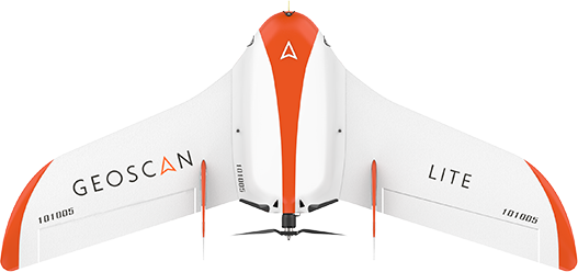
GEOSCAN You can get acquainted with other technologies of unmanned aerial vehicles on the website of our partner GEOSCAN group of companies (https://www.geoscan.aero/en)
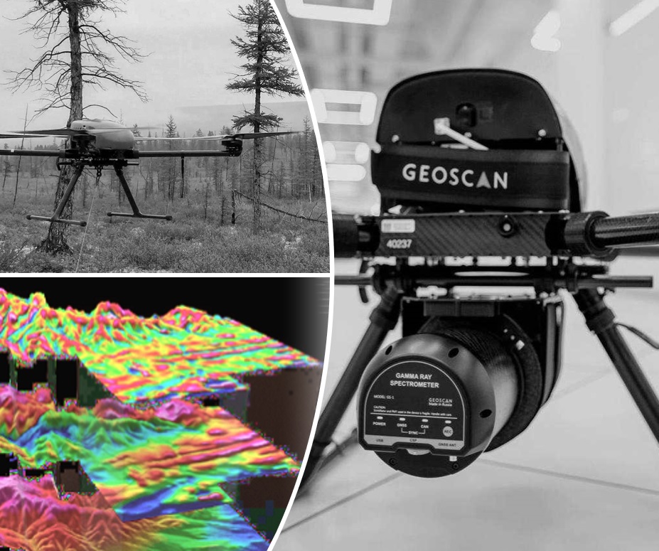
DEPOSIT SURVEY
The aeromagnetic complex, created on the basis of anunmanned aerial vehicle and a quantum magnetometer with a rubidium magnetosensitive sensor, combines the high maneuverability of an UAV with the high sensitivity of magnetometric equipment. The system makes it possible to perform high precision aerial surveys at quietly low altitudes, both in flat terrain and in difficult terrain conditions, with detailed relief binding. With the use of the complex, it becomes possible to study the magnetic field volumetrically due to the surveys at different altitudes and vertical profile building, which makes possible using new methods for analyzing and interpreting magnetometry data, which will lead to the construction of volumetric geomagnetic models on a new level of reliability. The greatest effect from the technology application is expected at the study of medium sized areas (dozens, the first hundreds of sq. km) when manned aviation is unprofitable, and ground based measurements require more labor or are impossible due to difficult terrain conditions.
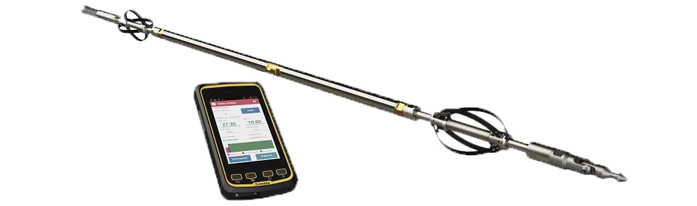
Gyroscope - tool for well inclinometry and orientation
North seeking gyro with solid state sensors for all downhole applications.
The GyroMaster™ uses proprietary Navibore Technology, which is capable of registering data points every cm for industry-leading accuracy. Capable of surveying in any inclination, customers can automatically create highly accurate independent surveys.
We use reliable equipment from Stockholm Precision Tools.