Groundwater is the main source of fresh drinking water for humans. The science of groundwa-ter is called hydrogeology. Most of Uganda lies on igneous and metamorphic rocks of the crys-talline basement bedrocks basalt, granite, quartzite, shale, mudstone.
Firstly, the surface water is contained in the near-surface loose part of the section, these are soil waters. This water occurs at a depth of up to ten meters, in the first sedimentary layer of the rock. It has a direct connection with the surface is collected due to precipitation and is not fil-tered by soil. Surface water not drinking water turbid with sediment. Not used for water supply.
Second type. Subterranean is water in the weathered rocks. Rocks, sands, clays, shale, grav-el. The waters of the weathering crust lie at a depth of 10 to 80 meters, in a layer of rocks of medium density. Groundwater of this type can be fed by infiltration seepage into the depth of the upper water over the entire area of the aquifer.
Third type. Fissure veins groundwater is water in basement rocks. Fractured veins free flow-ing underground waters occur at a depth of fifty to two hundred meters, in a layer of bedrock sol-id rocks.
These waters are well filtered and protected from surface contamination by loose sediments lo-cated above (waterproof layer). They do not contain sandy, clayish impurities. Almost always suitable for domestic and drinking water supply.
We drill wells for water types 2 and 3 as tap water, and, accordingly, wells are drilled on these horizons.
Before water well drilling, it is important to pre-determine the location of drilling, since aquifers are not common everywhere. To find water on the site, we use the method of electrical sounding.
It is used when searching for groundwater and determining the position of aquifers, assessing the depth of their occurrence, which is necessary to select a location for water well drilling.
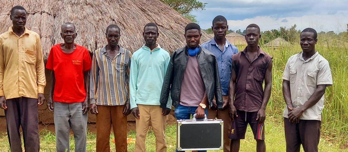
We use electric water detectors, specially designed for the exploration and development of water resources, data from which are processed and interpreted by software, and transmitted through a phone or tablet with the ability to display color graphics. It is convenient, fast and accurate. The results in the form of a graphic image can be immediately presented to the Customer within five minutes.
Low frequency current is used for vertical electrical sensing when searching for water. For these purposes, electrodes are clogged in different parts of the site, to which an alternating volt-age is applied. Then the resistivity is measured. The specific electrical resistance of the aquifer and rocks is different. Soil saturated with water always has a lower electrical resistance. Most of the geophysical instruments brought to Uganda use a manual method of processing the data obtained, which risks misinterpreting the data by a geophysicist.
Geophysical methods help to establish the position of the aquifer, to estimate the thickness of the overburden, and to find the water-resistant layer at depth. This information will help us to es-timate the cost of drilling a well, and most importantly, you will minimize the risk of drilling a dry borehole.
Ninety-seven percent of the water that is on planet earth belongs to the salty oceans and seas. And only three percent is fresh water. Love and protect clean water.
